
Beatrix Canal
Smart City and Mobility - City of Eindhoven
The Challenge
The Beatrix Canal is a narrow canal with a high density of large freightships, pleasure boats, and canoes. To prevent accidents of the different users colliding, the primary problems is to give insights and warnings to different waterway users. In addition, with large fluctuations in water levels and flow, the large ships risk additional collisions with bridges or quays when unloaded. Freightships in addition require to pay for harbor usage which needed to be automated.
Workflow Solution
Through AIS, mobile phone, or GPS trackers the different water way users anonymously register for use of the Canal and share their live location to other users. For freightships this location is additionally used to notify the harbor manager when entering the harbor. Those who are using the mobile application receive notifications which can range from warnings when water height and flow are critical, or temporary events which can be construction works or a canoe competition. Mobile app users can also report location related problems.
Graphical User Interface
The harbor manager has a dashboard, allowing him to define points of interest, geo-fence and water level based notifications to users. In additions he can define e-mail notifications towards officers, forwarding both harbor registrations and problem registrations. Vice-versa the end users can use their mobile app to register for the different services.
System Intelligence
Location geo-fences are used to trigger several actions, ranging from e-mail registration towards officers or, when combined with water level and flow, to send notifications to users. In addition a dedicated AIS antenna is directly integrated within OpenRemote to improve the position accuracy of professional freightships.
Connected Sources
Several data sources are integrated: waterlevel and flow sensor, GPS trackers, AIS antenna. All are connected using TCP/HTTP protocols. Waterflow sensors are connected to an existing Scada based Industrial Control solution. The GPS trackers are connected via GPRS. The AIS antenna has a direct connection but is also connected to a cloud based AIS service, so others can also benefit this extra antenna.
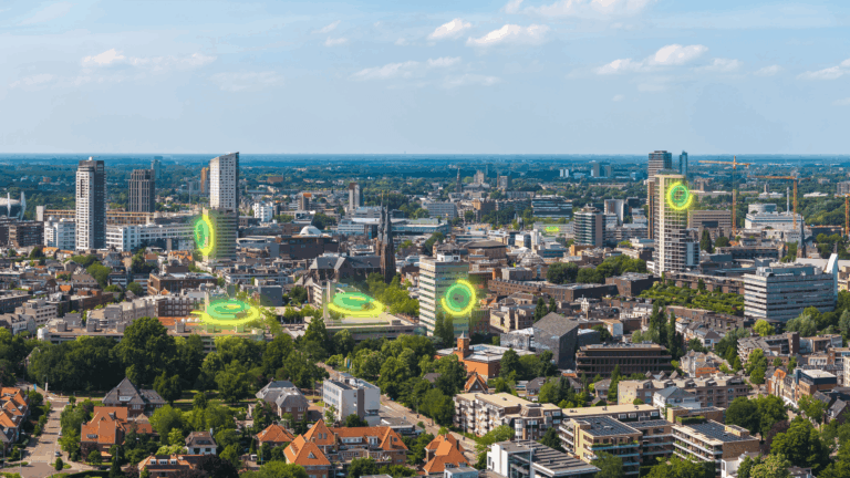
Smart City and Mobility
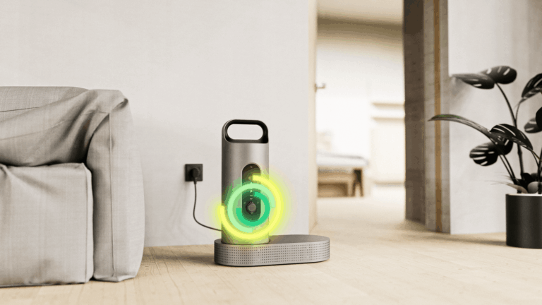
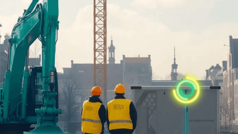
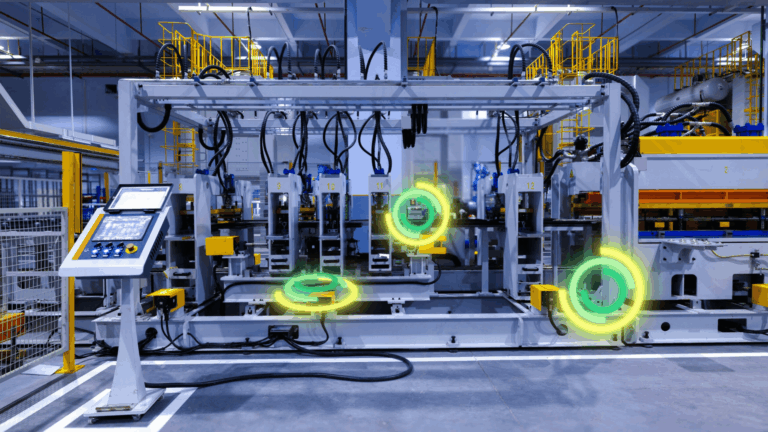
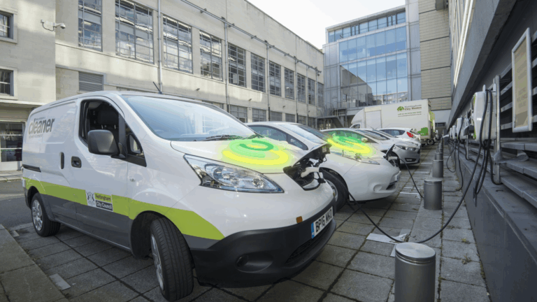
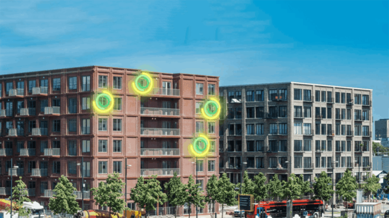
Managing digital assets in a city can become complex for the responsible departments, whether parking manager, lighting manager, security, or the maintenance department.
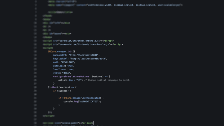
The OpenRemote IoT Platform connects and controls different vertical systems, using configurable protocol agents or its Edge Gateway. More importantly, alerts are set to monitor optimal performance as well as unexpected behaviour. Notifications are send to professionals and systems are activated.
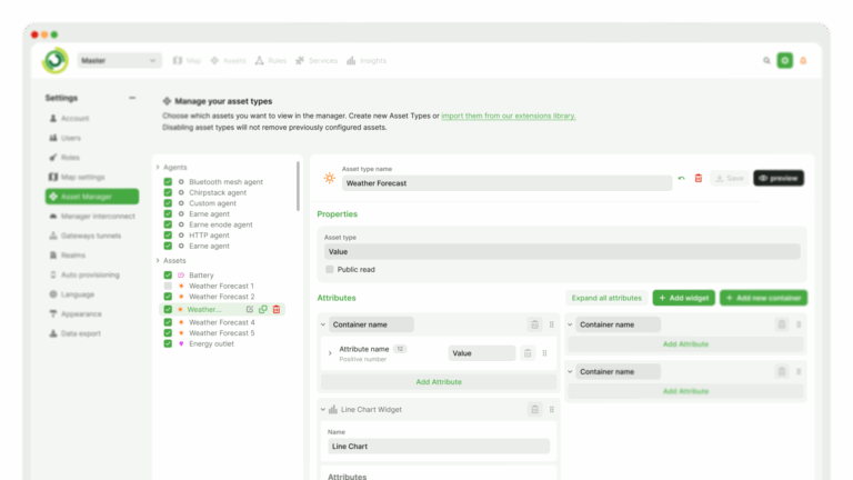
A dashboard for a domain manager and mobile apps for staff on the ground. All tailored to your specific context and identity, hosted in your own secure environment.